Geo-Referenced TIFF Image
Geo-Referenced TIFF Image for:
Calculation of quantity
Planning
AS built
Setting out coordination
Monitoring progress
Calculation of quantity
This is like we calculate quantity
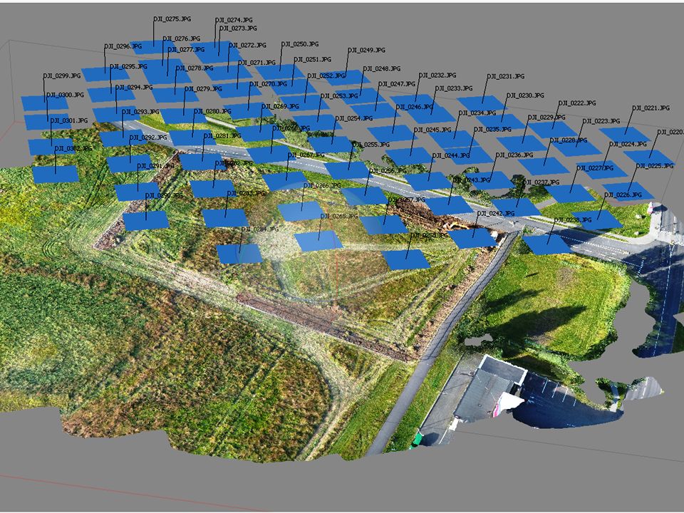
Mapping before earth work starts
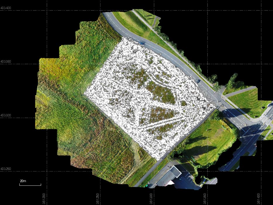
Creating Point Cloud

Mapping after earth work is finish
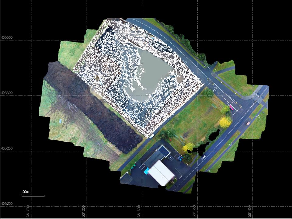
Creating Point Cloud

Calculating the quantity with a Survey program
Traditional GNSS surveying versus mapping with drones and GNSS
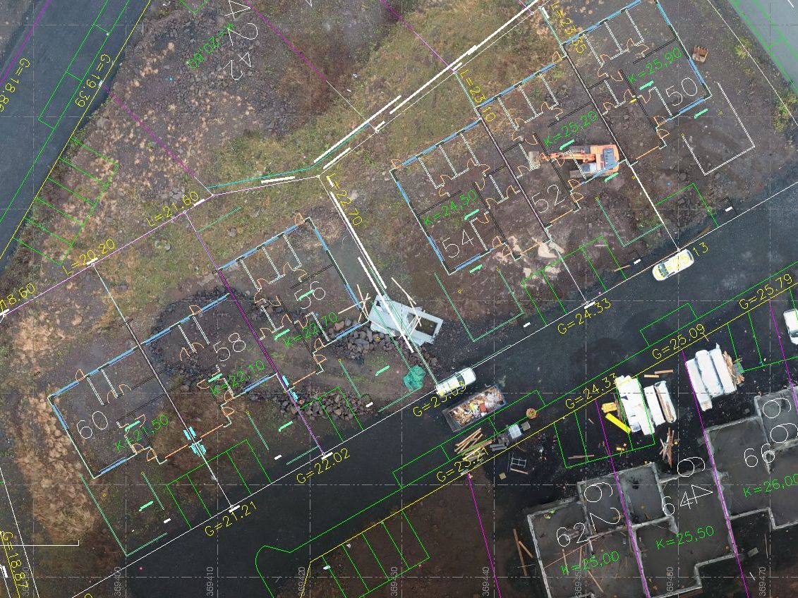
This job was started by making Geo-Reference TiFF Image of the area

This is the Point Cloud used of the original surface
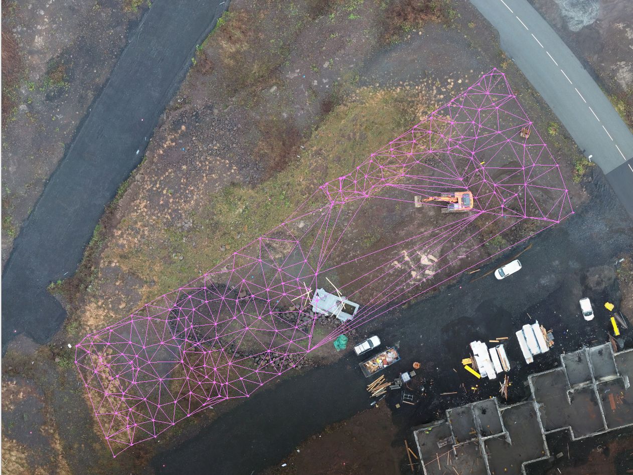
Points form traditional GNSS survey under excavation
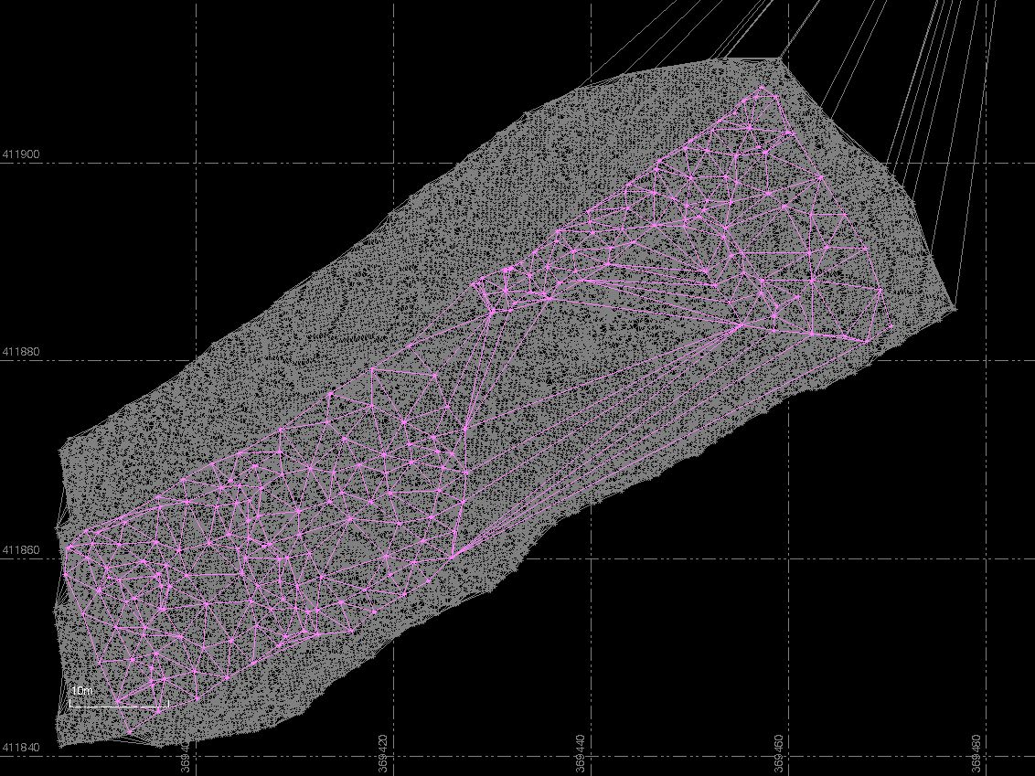
Here we see these to Point Cloud together
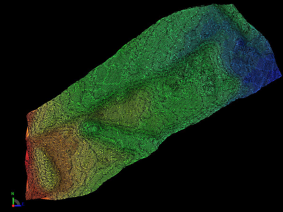
The New age, the Point Cloud from the Geo-TIFF file in colors .
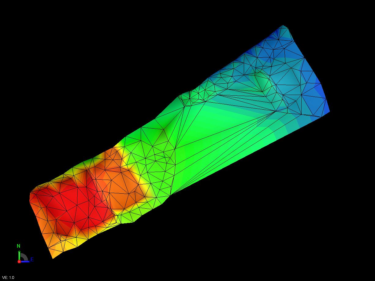
The old age, the Point Cloud from the traditional GNSS survey
Drawing and design
Change the background to real live experience
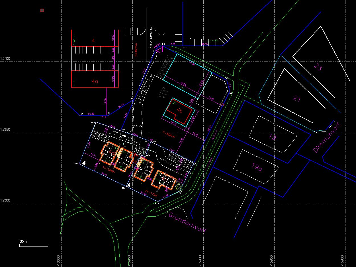
Drawings of Ögurhvarf 4d and 4c, Kópavogur. The old look

The same job with GeoTIFF Image under the design
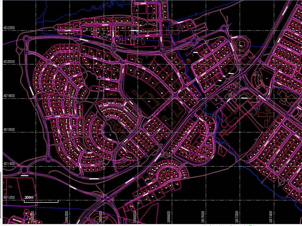
A traditinal map
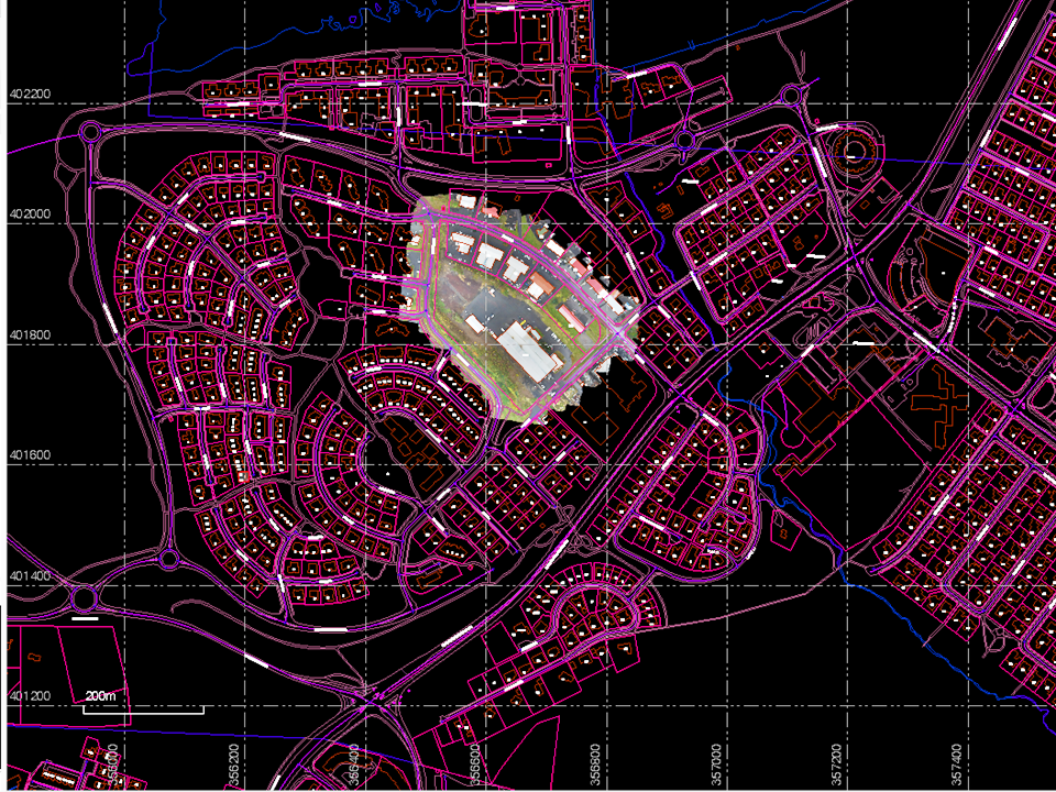
Se how til comes alive when presented whit a Geo-TIFF image
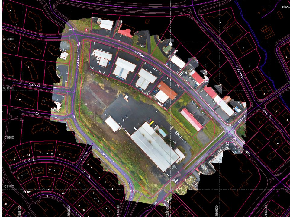
Plannig new building on the old industrial site looks much better whit this Geo-TIFF as a background
Coordinates and drawings
It is easy to put down coordinates when using Geo-Referenced TIFF Images
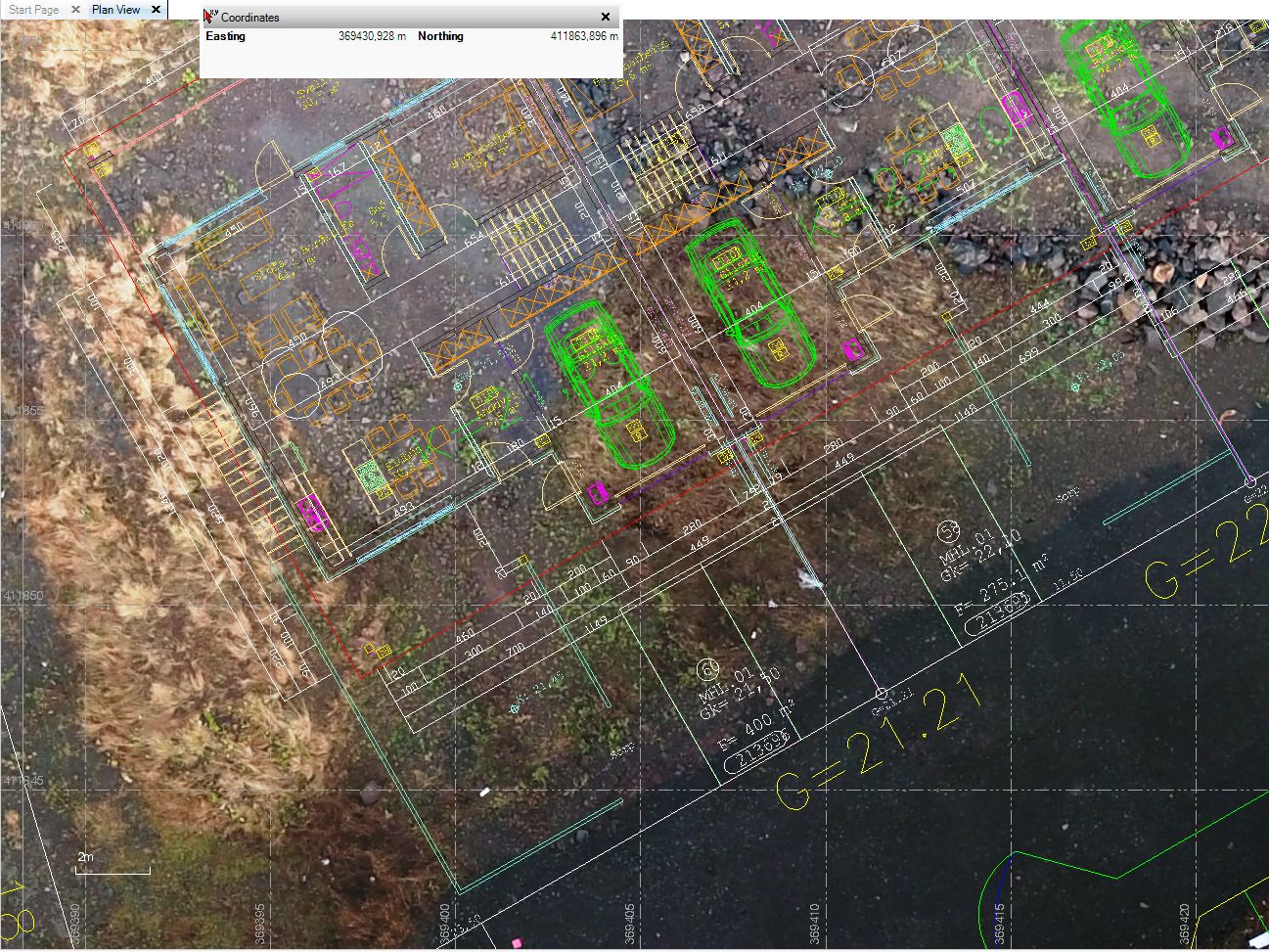
You just wipe the mouse over the GeoTIFF and you have the coordinates
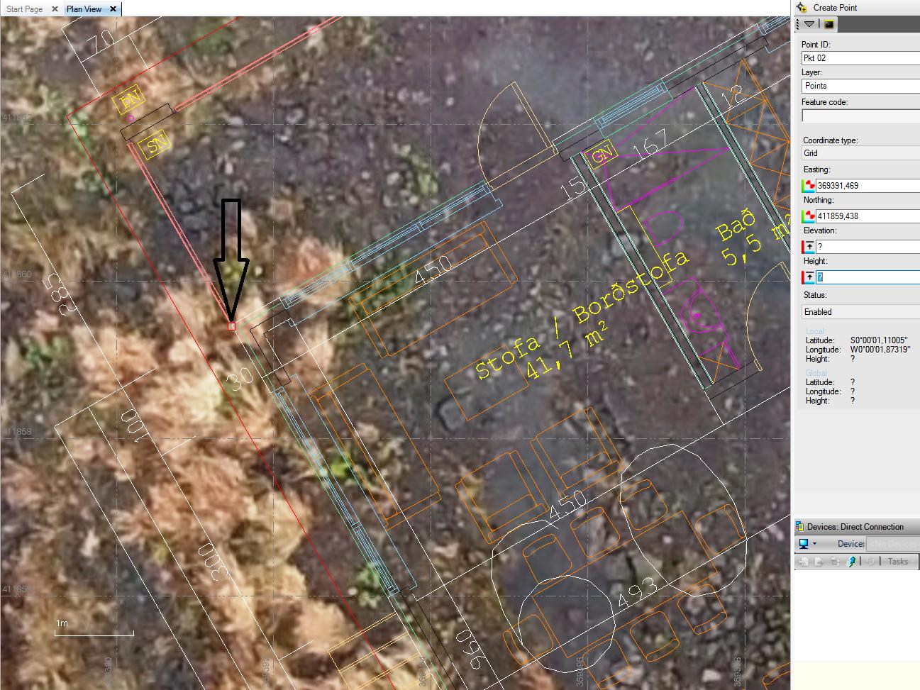
To pin down the coordinate us just click the mouse
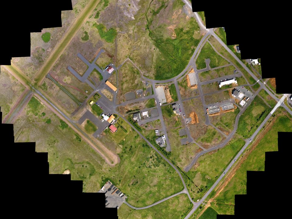
You are quick to put down coordimats on lights posts, houses and roads using GeoTIFF images
As built
One of the jobs is to make AS built drawings
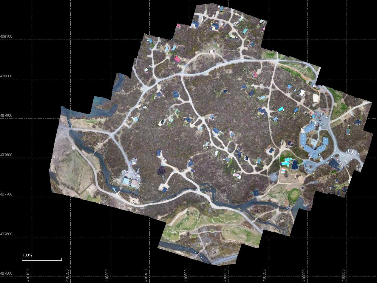
There have never being made drawing of this summer house quarter at Húsafell. Making such drawing using Geo referenced Tiff image is simple and quick

One just zooms down

And stars drawing up houses and roads with accurice to +/-15-25 mm in XY and 20-30 mm in Z
Monitoring progress
Mapping with drone and GNSS
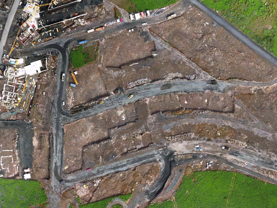
Mapping with drone opens new dimension in surveying work and progress at work site

Progress, material and machines can observed

The smallest of ditaeles can be monitored
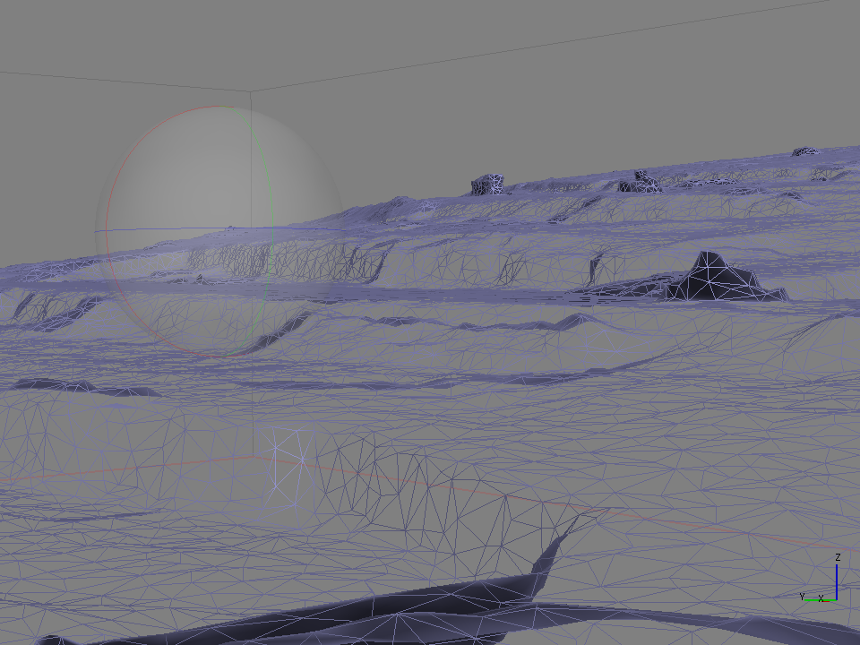
Calculation of quantities can also be monitors
Contact us at 00 354 566 7000 and order Geo-TIFF image and attachments